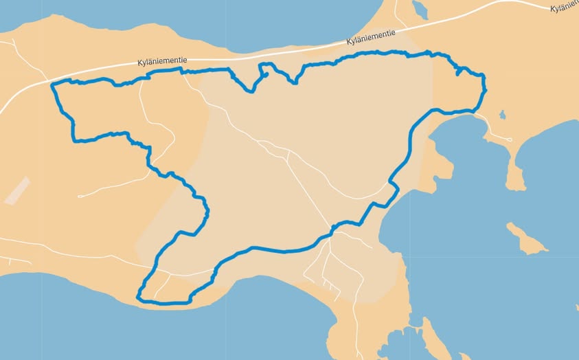
There is a hiking trail in Kyläniemi, approximately 9.5km long, in a varied terrain. The route is marked with ribbons in the trees. Please note that in some places the route follows clear paths, in some places it also follows roads, and in some places the terrain is very challenging.
Here is a link to a Google map where you can see the route.
The route is also available for download from the Komoot service, which means you can also download the GPX file from there.