Kyläniemi is an island or a cape separated from the mainland by a canal built in the late 18th century in the middle of Lake Saimaa proper, on Taipalsaari Island in South Karelia. As an island, it is the 20th largest island in Finnish inland waters.
Kyläniemi is 13.8 kilometres long, 6.1 kilometres wide and has an area of 23 square kilometres. It is part of another formation known as Salpausselkä, which runs across Lake Saimaa in an east-west direction. It is a marginal formation formed at the end of the last ice age, topped with a thick layer of sand and gravel. Kyläniemi was a cape before it was cut off at its narrowest point at the base by an open channel. The channel is now 190 metres long and 90 metres wide. The channel has a deep channel with a draft of 2.4 metres. To the north of Kyläniemi lies the vast Myhkiönselkä, bordered in the west by the archipelago south of Petranselkä. To the west lies Hietasaarenselkä, followed further south by Mäntysaarenselkä. The Rastinvirta flows between Kyläniemi and Suuren Sarviniemi on the opposite shore. Almost all of Lake Saimaa’s waters flow through it. They lead to Ilkonselkä, to the east of which are Lamposaarenselkä and Huuhanselkä, adjacent to each other south of Kyläniemi. The Kutvele Canal brings some water from Myhkiönselkä to Huuhanselkä.
Subpages Kylaniemi.fi
- Kyläniemi village association
- Events Kyläniemi
- Fishing permits
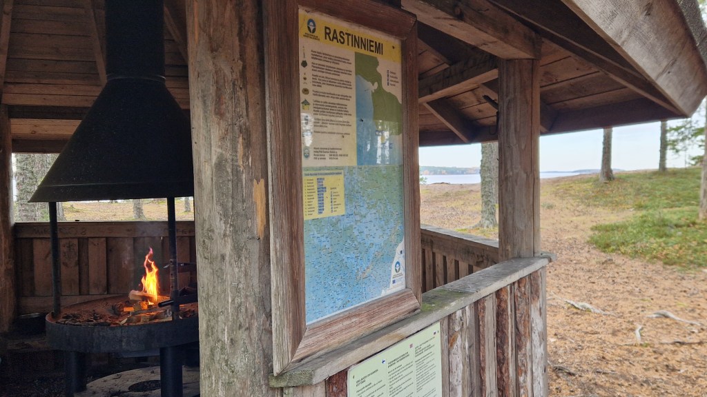
- Hiking trail
- Optical fiber
- Kyläniemi book
Public Links: